Rain and thunder likely in several states on Tuesday, low
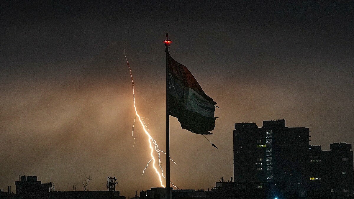
A broad low‑pressure system moving eastward will bring rain and thunder to a swath of the United States on Tuesday. Meteorologists say the disturbance will generate scattered showers, occasional heavy downpours and brief lightning strikes across the Midwest, the South, the Plains and parts of the Northeast. The weather pattern is expected to be short‑lived, but its timing coincides with a busy travel day and the start of the planting season for many crops, raising concerns for commuters, farmers and power utilities.
Weather Overview The low pressure area, anchored over the central Rockies, is drawing warm, moist air from the Gulf of Mexico while pulling cooler, drier air down from the north. This clash creates the instability needed for thunderstorm development. Radar models show the core of the system advancing at roughly 30 miles per hour, reaching the Ohio River Valley by mid‑morning and the Atlantic seaboard by late afternoon. Forecasts indicate rain totals of 0.2 to 0.5 inches in most locations, with isolated pockets receiving up to an inch. Lightning activity is expected to be most intense between 10 a.m. and 4 p.m., though brief strikes could occur outside that window.
Regional Outlook – Midwest and South In the Midwest, states such as Illinois, Indiana, and Ohio will see scattered showers early in the day, with the greatest coverage across central Indiana and western Ohio. Thunderstorms are likely to develop after noon, especially where surface temperatures climb above 80°F. The southern tier, including Kentucky, Tennessee, and northern Mississippi, faces a higher risk of brief heavy rain and gusty winds. The National Weather Service has issued a few “slight risk” outlooks for severe weather, mainly for isolated wind damage and small hail. Residents in these areas are advised to keep an eye on local alerts, as downed trees and power lines can cause unexpected road closures.
Regional Outlook – Northeast and Plains Further east, the Northeast will experience a later arrival of the rain band. New York, Pennsylvania, and New Jersey can expect light to moderate rain beginning in the early afternoon, with thunderstorms more likely in the higher elevations of the Appalachians. The Plains, stretching from Kansas to Nebraska, will see the system’s leading edge bring a brief period of showers and a few thunderstorm cells late in the day. While the precipitation amounts are modest, the combination of rain and cooler air could lead to a noticeable drop in temperature, offering a brief respite from the recent heat wave that has affected the region.
Potential Impacts Travelers should anticipate slower traffic on major highways, especially where rain reduces visibility and slick road conditions develop. Airports in the affected states have already issued precautionary delays, and airlines may experience minor schedule adjustments. For the agricultural sector, the timing of the rain could be a mixed blessing. Early‑season corn and soybean growers in the Midwest may welcome the moisture, but excessive rain on already saturated soils could delay planting operations and increase the risk of soil erosion. Power companies are also on alert; lightning strikes have the potential to damage transformers and cause localized outages, particularly in rural areas with older infrastructure.
Safety Recommendations Experts recommend that anyone outdoors keep an eye on the sky and seek shelter at the first sign of thunder. Vehicles should maintain a safe distance from trees and avoid parking under power lines. Homeowners are urged to secure loose outdoor items, such as patio furniture and garden tools, that could become projectiles in strong gusts. For those commuting, allowing extra travel time and checking real‑time traffic updates can reduce the chance of getting stuck in an unexpected slowdown. Finally, keeping a battery‑powered flashlight and a basic emergency kit in the car is a prudent step whenever severe weather is forecast.
Looking Ahead The Tuesday rain event is part of a larger pattern of unsettled weather that has been moving across North America this month. Climate scientists note that while a single low‑pressure system does not dictate long‑term trends, the frequency of such systems can be influenced by broader atmospheric changes. In the coming weeks, forecasters expect a gradual shift toward drier conditions in the Southwest and a return to more stable weather in the Southeast. Monitoring how these short‑term systems interact with the seasonal jet stream will be key for predicting future rain and thunder occurrences across the continent.
Overall, Tuesday’s weather brings a reminder that even modest rain and thunder can have ripple effects on daily life, from road safety to crop management. Staying informed, planning ahead, and following safety guidelines will help communities navigate the brief but active weather pattern with minimal disruption.